
Map and location data, along with any photographs used, are credited centrally on this page. The complete details therefore remain easy to find without visually overloading the information pages or maps.
Sources for the map
The location markers on Grabpflege München und Umgebung are based on the geodata sources listed here.
What the markers show
Each marker serves as a representative point for orientation at the respective cemetery. It does not identify a particular entrance, access road or individual grave. Follow signs at the site and the operator’s current information for access and routes.
Bayerische Vermessungsverwaltung
© Bayerische Vermessungsverwaltung, www.geodaten.bayern.de (Daten bearbeitet)
OpenStreetMap contributors
© OpenStreetMap contributors
Landeshauptstadt München – Open Data Portal
Landeshauptstadt München, Städtische Friedhöfe München (Daten bearbeitet)
OpenStreetMap contributors
© OpenStreetMap contributors
OpenStreetMap contributors
© OpenStreetMap contributors
OpenStreetMap contributors
© OpenStreetMap contributors
OpenStreetMap contributors
© OpenStreetMap contributors
OpenStreetMap contributors
© OpenStreetMap contributors
OpenStreetMap contributors
© OpenStreetMap contributors
OpenStreetMap contributors
© OpenStreetMap contributors
OpenStreetMap contributors
© OpenStreetMap contributors
OpenStreetMap contributors
© OpenStreetMap contributors
OpenStreetMap contributors
© OpenStreetMap contributors
OpenStreetMap contributors
© OpenStreetMap contributors
OpenStreetMap contributors
© OpenStreetMap contributors
OpenStreetMap contributors
© OpenStreetMap contributors
OpenStreetMap contributors
© OpenStreetMap contributors
Map base layer
The interactive maps use map tiles from OpenStreetMap. The short attribution required by the licence remains visible inside the map itself.
OpenStreetMap contributors and licence10 image credits
Every photograph used on Grabpflege München und Umgebung is clearly matched to its subject here.
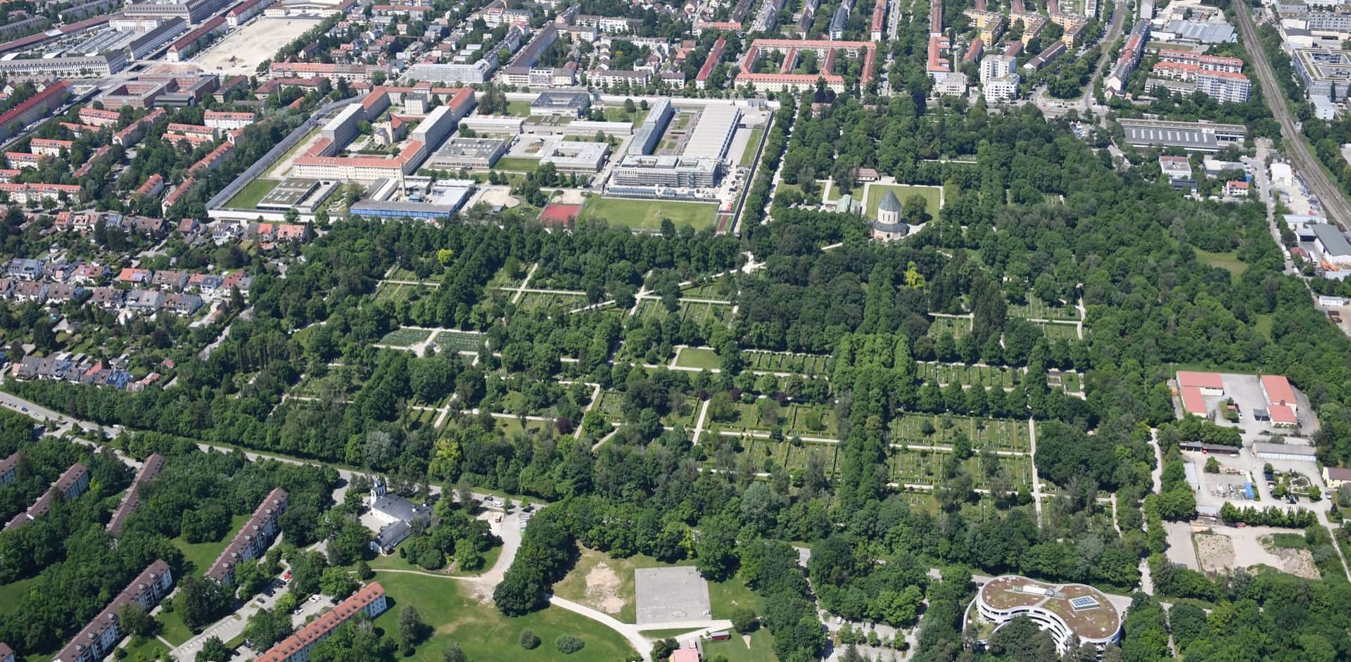 Image 01
Cemetery grounds viewed from the southeast
- Creator
- Carsten Steger
- Modifications
- Wikimedia Commons file scaled to 1,920 pixels wide; no content changes. Responsive sizes and formats are generated for display.
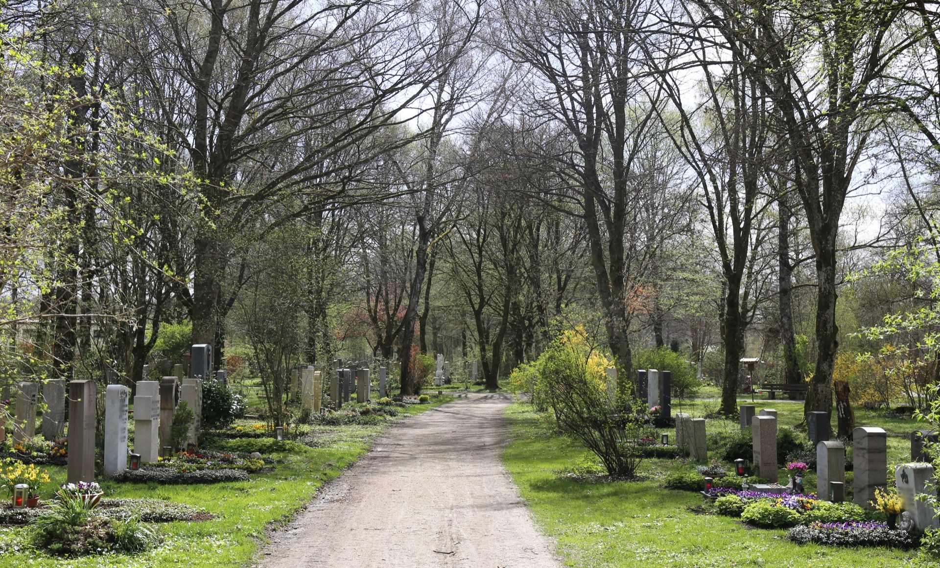 Image 02
Burial plots along a curving path
- Creator
- Rufus46
- Modifications
- Wikimedia Commons file scaled to 1,920 pixels wide; no content changes. Responsive sizes and formats are generated for display.
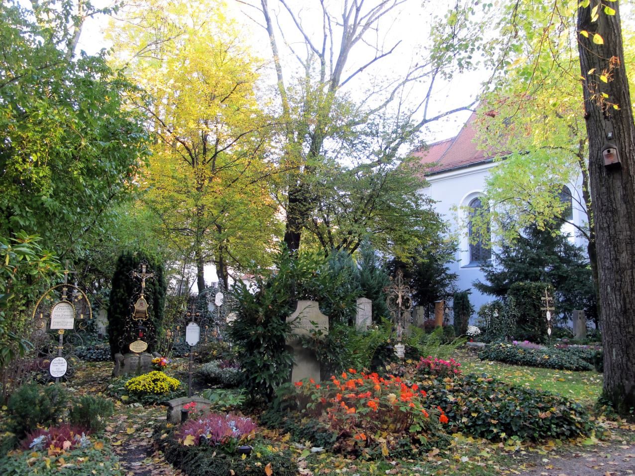 Image 03
The small cemetery surrounding St Georg church
- Creator
- Bbb
- Modifications
- Unaltered original file; responsive sizes and formats are generated for display.
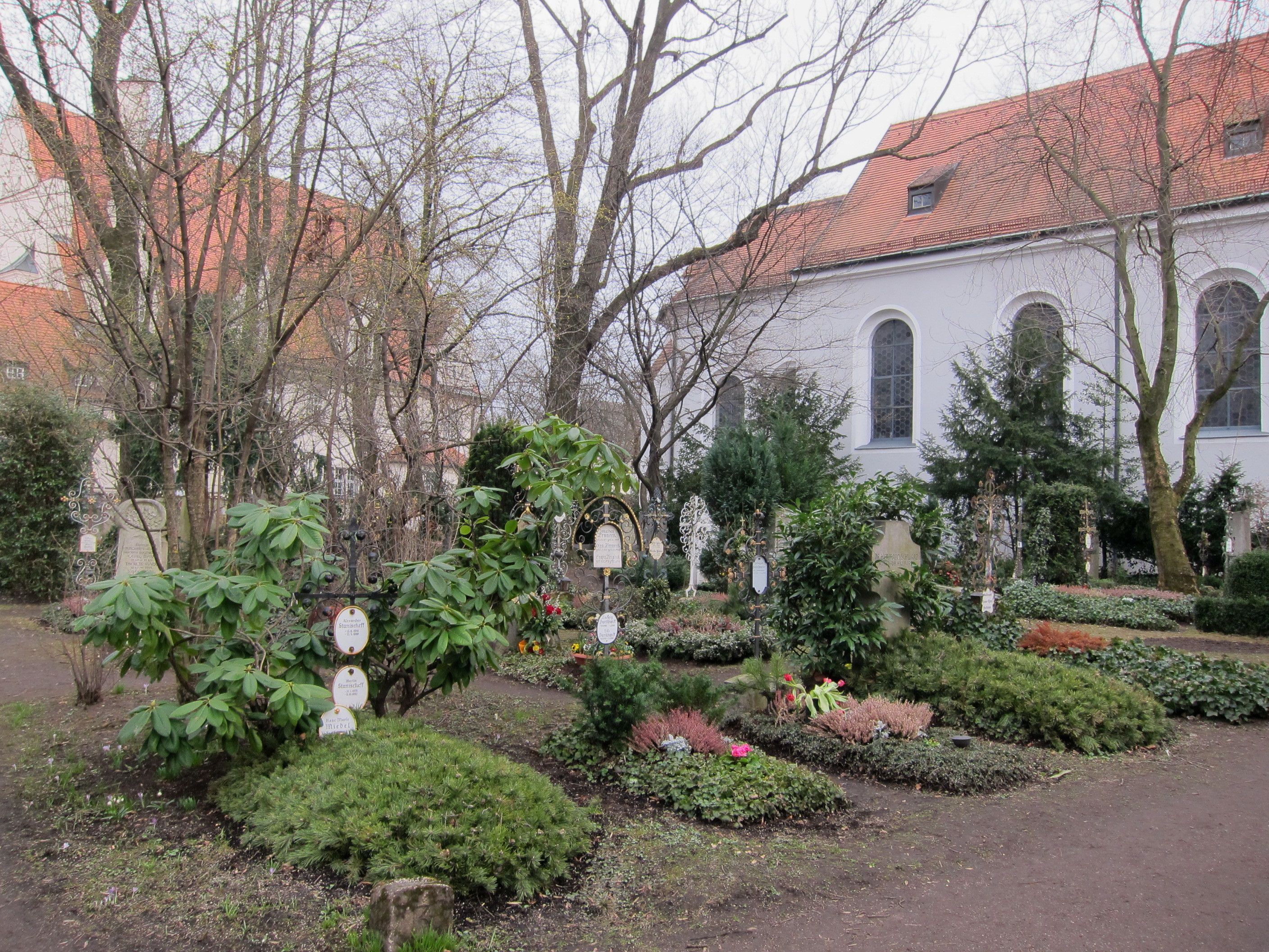 Image 04
Grave markers in the walled cemetery section beside St Georg
- Creator
- AHert
- Modifications
- Unaltered original file; responsive sizes and formats are generated for display.
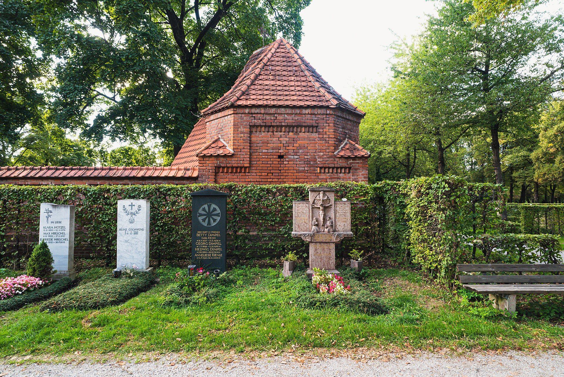 Image 05
Burial chapel and planted graves
- Creator
- Flocci Nivis
- Modifications
- Wikimedia Commons file scaled to 1,920 pixels wide; no content changes. Responsive sizes and formats are generated for display.
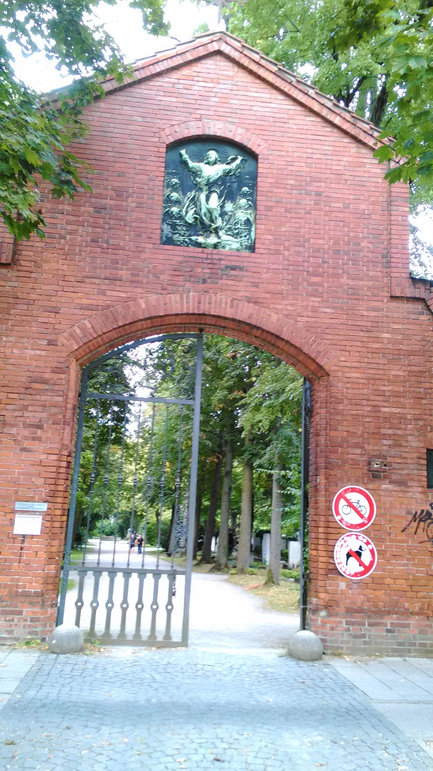 Image 06
Entrance on St.-Martin-Straße
- Creator
- Mattes
- Modifications
- Unaltered original file; responsive sizes and formats are generated for display.
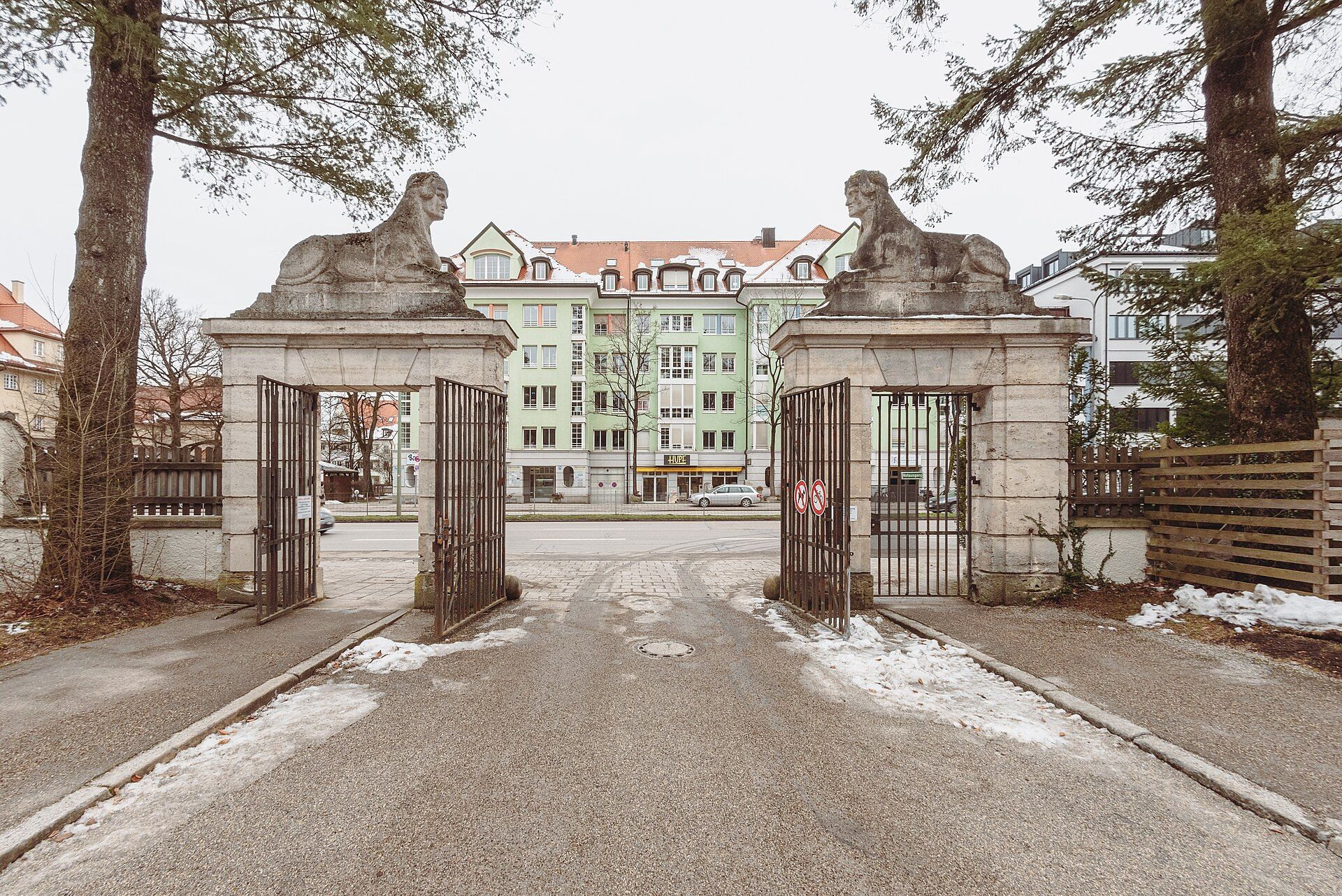 Image 07
Cemetery entrance framed by two sphinxes
- Creator
- Flocci Nivis
- Modifications
- Wikimedia Commons file scaled to 1,920 pixels wide; no content changes. Responsive sizes and formats are generated for display.
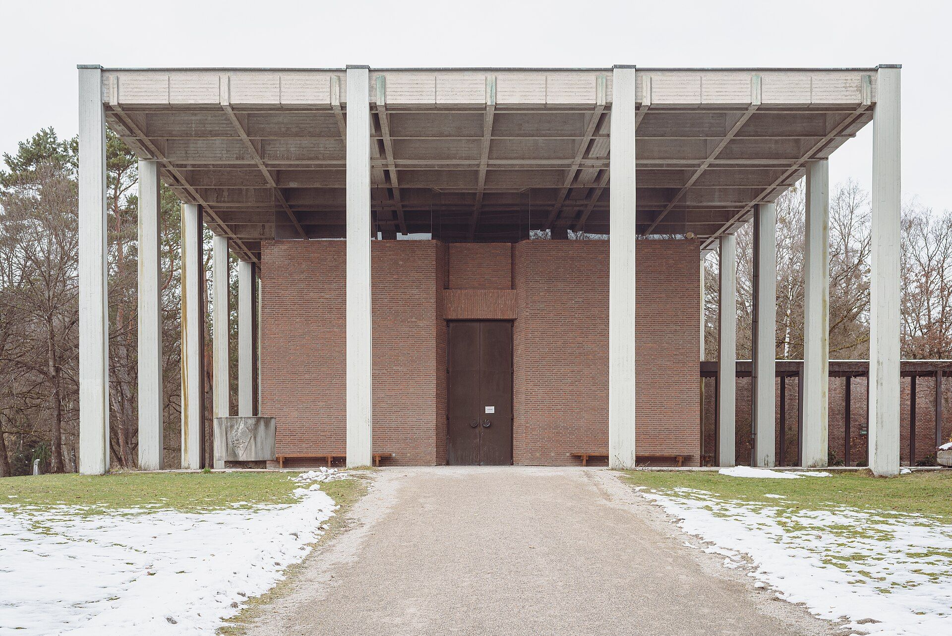 Image 08
Waldfriedhof funeral hall
- Creator
- Flocci Nivis
- Modifications
- Wikimedia Commons file scaled to 1,920 pixels wide; no content changes. Responsive sizes and formats are generated for display.
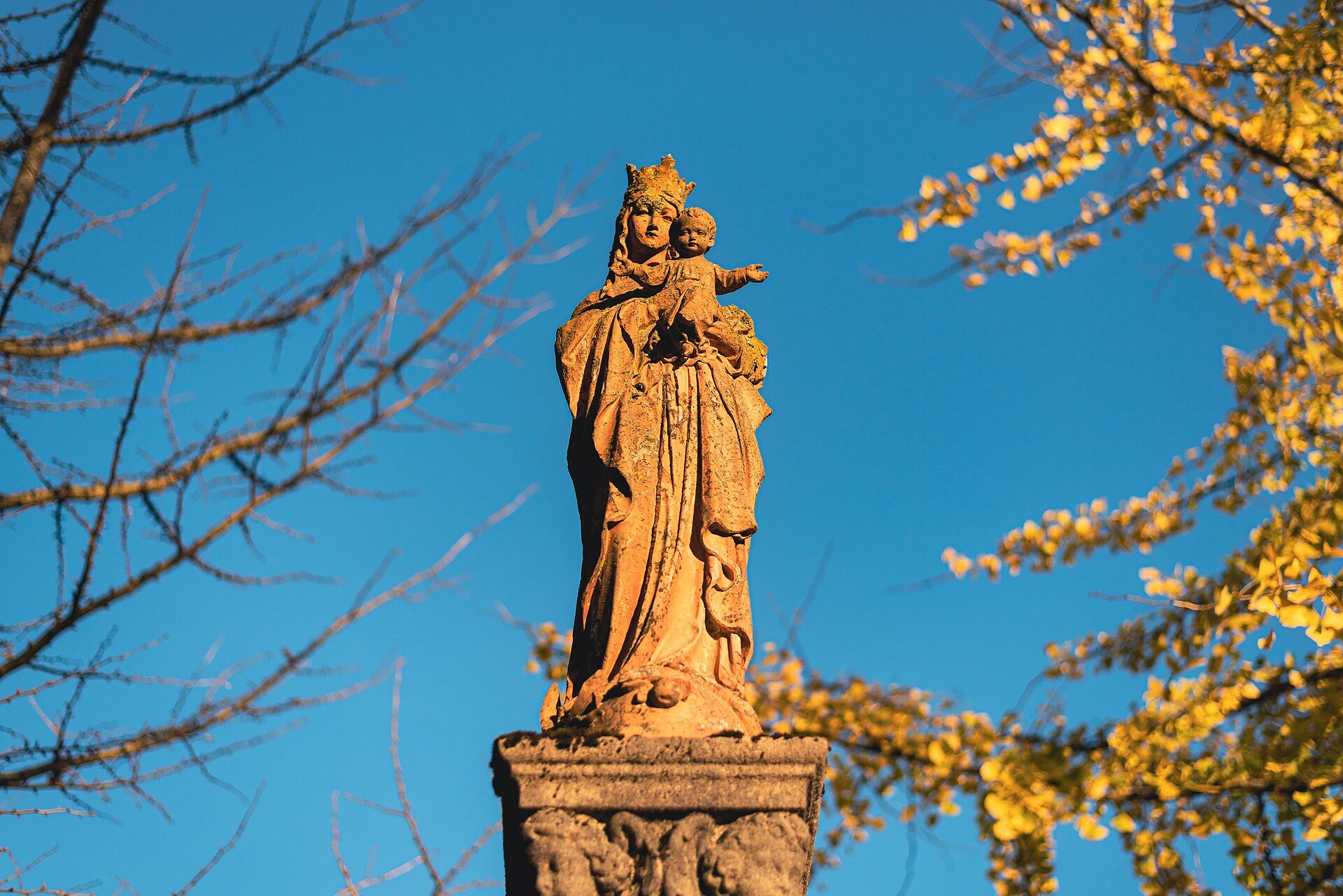 Image 09
Marian column at Westfriedhof
- Creator
- Flocci Nivis
- Modifications
- Wikimedia Commons file scaled to 1,920 pixels wide; no content changes. Responsive sizes and formats are generated for display.
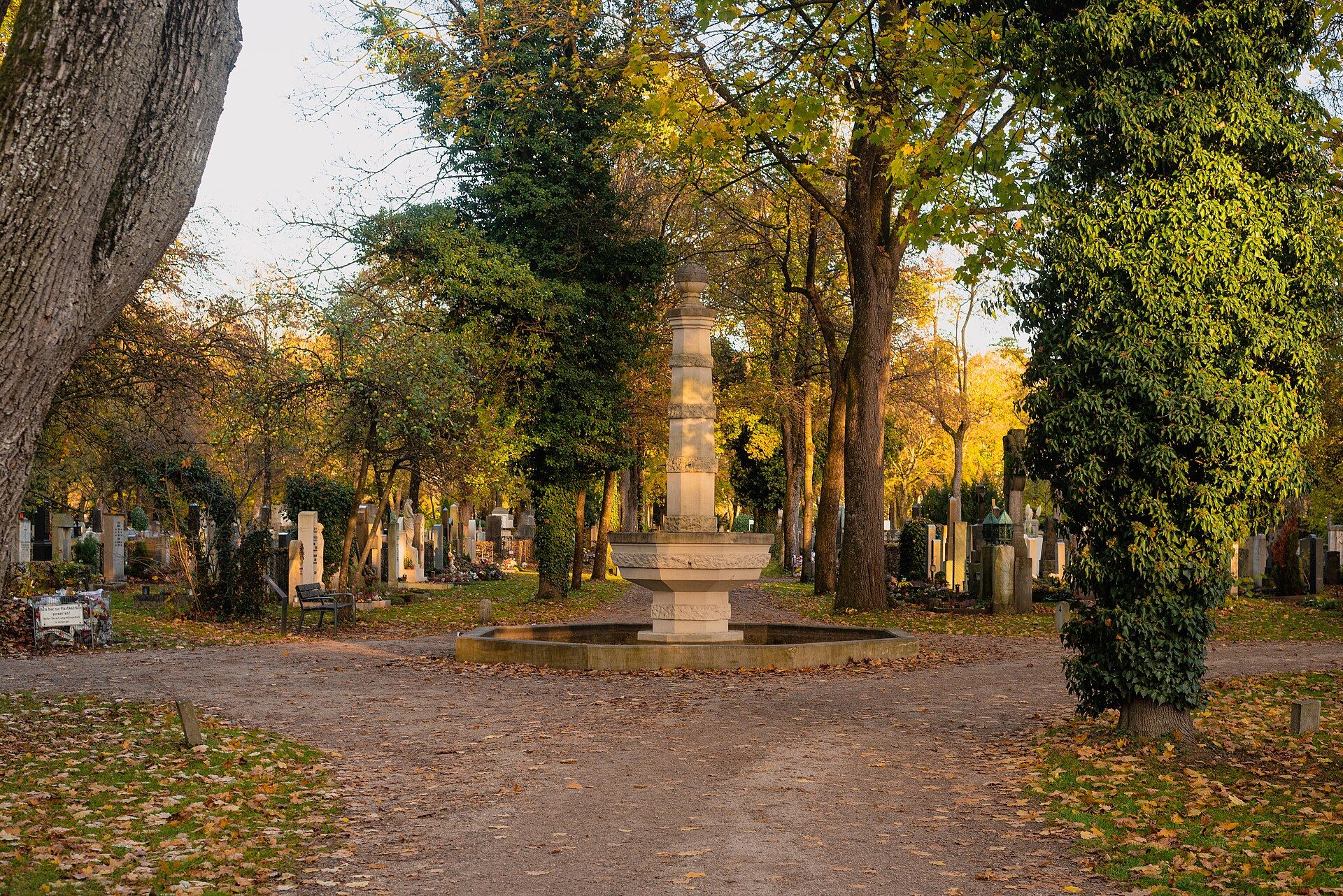 Image 10
Fountain and burial paths in the autumnal Westfriedhof
- Creator
- Flocci Nivis
- Modifications
- Wikimedia Commons file scaled to 1,920 pixels wide; no content changes. Responsive sizes and formats are generated for display.
Notes on licences and image rights
The data licences listed apply to the datasets identified. For photographs, the stated licence applies to the individual image; rights in works depicted may remain unaffected. The licence information on the linked source pages is authoritative.